The skies over Tamil Nadu have been playing a frustrating game of peek-a-boo this past week. While hopes were high for widespread rain, developing weather systems give Tamil Nadu a miss for the most part, creating a classic “so close, yet so far” scenario. The major systems have veered away, leaving most of the state waiting under humid skies, while only isolated pockets have received the promised heavy rain.
Why the Bay of Bengal System Bypassed Tamil Nadu
Meteorologists and weather enthusiasts were keenly tracking a cyclonic circulation over the southwest Bay of Bengal. The expectation was that this system would move towards the Tamil Nadu coast, ushering in a much-needed extended period of moderate to heavy rainfall.
However, the system chose a different path. Instead of moving west, it tracked north-northeast towards the shores of Odisha and West Bengal. This atmospheric detour pulled the primary rain-bearing clouds away from Tamil Nadu, leaving only its peripheral influence.
“It’s a classic case of the system’s trajectory not favouring us,” explained a senior official from the Regional Meteorological Centre. “The steering winds in the upper atmosphere guided the system away. While we are getting some moisture incursion from the bay, the core rain event has effectively given us a miss.”
Isolated Heavy Rain Lashes Western Ghats and Interior Districts
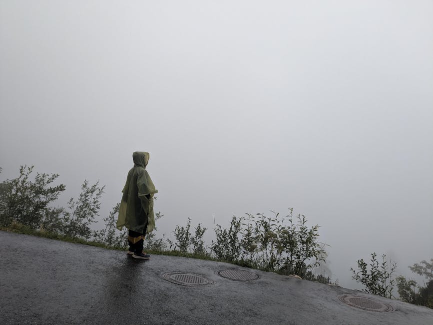
While the widespread rain event didn’t materialize, the entire state has not been left dry. The real action has been concentrated in the Western Ghats districts and some interior regions, where heavy rain in isolated parts has been significant.
Areas in the Nilgiris, Coimbatore, Theni, Dindigul, and Kanyakumari have been receiving sharp, intense spells of rainfall. This is largely due to localised convective activity, where available moisture combines with daytime heating to build powerful thunderstorms. These are not gentle, persistent showers, but short-lived deluges that can dump significant rain in hours. This activity helps recharge local water bodies but also brings the risk of localised flooding and potential landslides in vulnerable ghat sections.
Chennai and Delta Regions Remain Dry: What’s the Forecast?
For residents of Chennai and the vast agricultural plains of the Cauvery delta, the wait for substantial rain continues. The city’s reservoirs are eagerly awaiting significant inflows to bolster water storage. The lack of widespread rain has kept temperature and humidity levels uncomfortably high.
Farmers in the delta and other rain-fed regions are looking anxiously at the sky, hoping the next weather system proves more generous. The current pattern of isolated storms is too unpredictable to support large-scale agriculture.
Forecasters suggest this pattern of isolated thunderstorms in southern and western Tamil Nadu may continue. While no major system is on the immediate horizon, the monsoon remains dynamic. For now, the state remains a patchwork of drenched landscapes and parched plains, a testament to the monsoon‘s ever-capricious nature.